The video showed a few trees and not much else. Somewhere in the soundtrack, too faint for most ears, two airplanes went by.
That was enough.
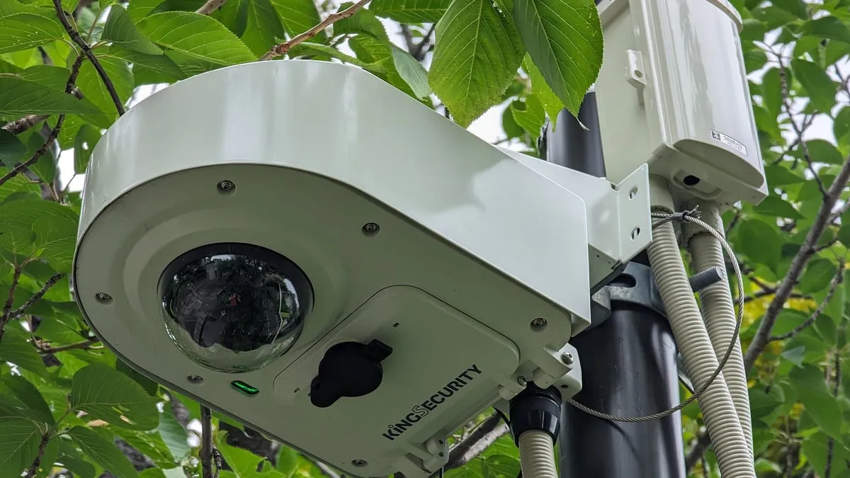
A YouTuber who goes by Colsto, known for working out where album covers and online videos were shot, used those two planes to find the exact spot where the clip was recorded: a security camera, tracked down on Google Street View once the math was done. The demonstration spread through tech blogs this month, and both security writer Bruce Schneier and developer Simon Willison wrote about it.
Two curves on a chart
It starts with the Doppler effect, the reason an ambulance siren sounds higher as it comes toward you and lower once it has passed. Planes do the same. How the pitch bends over time depends on the plane’s speed, how close it passes and which way it’s heading.
On a spectrogram, a chart of sound frequencies over time, every passing aircraft draws a curve. Propeller planes are especially useful because their low hum carries a long way and shows up in recordings even when nobody notices it.
The other half of the puzzle is public data. Aircraft broadcast their position, altitude and speed through ADS-B, a system that lets planes and controllers see each other, and those broadcasts are collected and archived. Colsto took the flight records from that ADS-B data and sorted propeller planes from jets by their type codes.
From 70,000 places to one
According to Gizmodo’s detailed account, the clip was said to date from September 8 and to come from the continental United States. Its audio held two Doppler curves, 920 seconds apart.
A first pass against flight records produced about 70,000 possible locations.
Colsto then kept only the places where two planes would have passed with exactly that gap, with no other aircraft audible in between, which cut the list to about 15,000. For each of those, the YouTuber simulated the curves the planes would have produced and scored them against the real recording, down to details such as whether a plane was climbing or turning. One location survived.
The video’s own notes add details most write-ups skipped. The search ran over a grid of points 200 meters apart, and the method placed the recording within about 100 meters. Colsto also reran it on a single one-minute clip whose recording time was known, searching the entire US, and the true location still came out on top. Colsto isn’t releasing any code or tools.
Why your vacation videos are probably fine
A lot had to go right. Colsto knew the date and the country before starting (and, in the one-minute test, the exact time), and without that head start US flight data is so vast that Gizmodo compared the search to finding a needle in a haystack. The recording had to be long and quiet enough to hold clean aircraft signatures. As Schneier put it, the video has to be shot “close enough to an air route,” with background noise low enough to pick out the planes.
And this is one demonstration. There’s no published accuracy rate and no peer-reviewed paper behind it.
Who should take note
For most people this is a curiosity. It matters to those whose safety depends on staying hidden: survivors of domestic abuse, dissidents, whistleblowers, reporters working in hostile places.
Blurring faces and stripping a file’s metadata leaves the soundtrack untouched.
Colsto tested the obvious fixes and explains why they fail: a high-pass filter, drowning the sound out with other noise, even the compression and noise reduction phones apply to calls. The safer move is to delete the original audio and replace it. Holding a video for a few weeks before posting won’t help, because flight records are archived.